This practical guide shows how the marseille metro system works today and how it helps people skip traffic and move around the city in minutes.
I’ll set the scene with a quick snapshot: the metro opened on November 26, 1977 and now runs two lines across 31 stations and 22.7 km. The network is run by Régie des Transports Métropolitains and serves millions of passengers each year.
Services run daily from 5 am to 1 am. Trains come every 3 minutes at peak times and about 10 minutes in the evening. In 2012 the system carried about 76.7 million passengers—roughly 210,200 people a day.
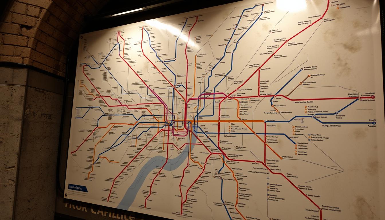
We’ll give a clear map of the lines and main stations like Saint‑Charles and Castellane. Expect simple tips on which line to choose, how many minutes to budget between connections, and the best ways to use the services for airport arrivals or hotel check‑ins.
Key Takeaways
- The marseille metro has two lines and 31 stations over 22.7 km.
- Operated by Régie des Transports Métropolitains, hours are 5 am–1 am.
- Peak frequency is every 3 minutes; evenings about 10 minutes.
- About 76.7 million passengers used the system in 2012.
- Main interchanges: Saint‑Charles and Castellane for quick transfers.
What the Marseille underground Is Today: History, Network, and Why It Matters
This section traces how a city plan from decades ago became today’s rapid transit backbone. Early proposals date to the 20th century, and a decisive council vote in 1969 started construction in 1973. Line 1 opened on November 26, 1977, reaching Castellane in March 1978.

From early plans to modern metro
Line 2 followed in 1984 and extended through the 1980s. Later extensions added La Timone (1992), La Fourragère (2010) and the Gèze terminus in 2019. Across those years the system earned its current shape.
The rapid transit network at a glance
The network now runs two lines with 31 stations over 22.7 kilometres. Services operate daily from 5 am to 1 am, with peak headways near 3 minutes and about 10 minutes in the evening.
Key interchanges and ridership
Saint‑Charles and Castellane act as major interchange hubs. The operator, Régie des Transports Métropolitains, reports tens of millions of passengers—about 76.7 million passengers in 2012—so plan for busy platforms during peak minutes.
- Rolling stock: MPM 76 rubber‑tyred trains now; new Alstom trains and platform screen doors planned.
- Practical: check the operator website for updates before you travel.
Using the Marseille underground for Your Trip: Lines, Tickets, and Services
Plan your trip by knowing which lines link key hubs and how long each route takes.
Line M1: La Rose to La Fourragère
Line M1 runs 12.7 kilometres across 18 stations from La Rose to La Fourragère. Key stops include Saint‑Charles and Castellane for easy changes. The route serves universities, hospitals, and central shopping areas, so expect busy platforms at peak times.
Line M2: Sainte‑Marguerite Dromel to Capitaine Gèze
Line M2 links Sainte‑Marguerite Dromel with Capitaine Gèze, calling at Rond‑Point du Prado, Joliette and Saint‑Charles. The extension to Capitaine Gèze opened in 2019 and acts as a useful northern terminus.
Tickets, payment, and tools
Choose a single 1‑trip ticket or value packs (10‑trip, group card). XL Pass options and City Passes fit short stays or long visits. You can buy a reloadable card or use Open Payment contactless at terminals.
| Option | Price | Best for |
|---|---|---|
| 1‑trip | €1.50 (+€0.10 card) | Single short trip |
| 10‑trip | €13.40 | Weekend visitors |
| 24‑hr XL | €5.20 | Day of multiple hops |
| Monthly subscription | from €37.10 | Frequent riders |
Use the RTM website or mobile app for live schedules and a station map. Staffed reception points at Castellane, Saint‑Charles, Vieux‑Port and Gèze can help with cards or a subscription.
Connections, Accessibility, and Trip Planning across the metro marseille network
Smart connections make the whole transport system feel faster and easier for people on the move. Use key interchanges to cut walking time and make transfers routine instead of stressful.

Interchanges, bus links, and beach routes
Saint‑Charles and Castellane provide direct interchange between the two lines, so plan changes there to save steps. From Vieux‑Port – Hôtel de Ville, catch Bus 83 for the Prado beaches, with stops at Catalans and Prophète.
Want a view? Take Bus 60 up to Notre‑Dame de la Garde from Vieux‑Port – Hôtel de Ville. These links let you mix metro and bus services in one easy route.
Accessibility, safety, and onboard features
Many stations have lifts or escalators and trains include reserved spaces for strollers and mobility aids. The operator is upgrading access as new rolling stock arrives, so check the RTM app before travel for the best path.
- Real‑time updates: 4G works in stations and on trains, so you can see arrivals in minutes.
- Visible safety: CCTV, clear audio announcements, and security staff patrols help people feel safe.
- Night travel: Allow a bit of extra time for late bus connections; the app shows live countdowns.
“One glance at the line map and a quick check of live times keeps your day on track.”
If you hold a longer subscription, you can switch between metro and bus without extra fares—just validate each segment. For families and older travelers, look up elevator locations and ask staff at staffed stations for help.
Conclusion
If you remember one thing, make it this: pick the right metro line and change once at Saint‑Charles or Castellane to reach most stations in under 30 minutes.
Line 1 runs 12.7 kilometres from La Rose to La Fourragère. Line 2 links Sainte‑Marguerite Dromel with Capitaine Gèze. Look for clear terminus signs to stay headed the right way.
Keep a reloadable card or an XL pass, use Open Payment, and check the RTM app for live times. These small steps smooth every trip and speed up connections.
Metro marseille is compact and visitor‑friendly. Plan your route, tap in, and enjoy simple, reliable transport for people on the move.